

Location & Surroundings – Finca Niquiamo
Finca Niquiamo is located in a rural setting characterised by agricultural land, open landscapes and extensive natural areas.
The property offers a high degree of privacy while remaining accessible via a public unpaved road that crosses the finca and connects the different areas of the property.
The combination of residential parcels, agricultural land and natural areas allows for a wide range of possible uses within a clearly structured spatial framework.
INTERNAL STRUCTURE AND ACCESS
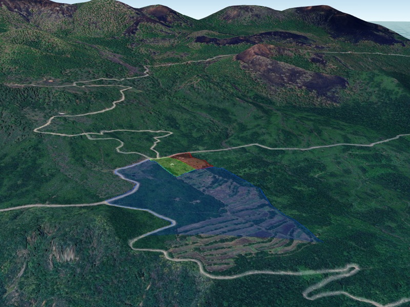
The finca is spatially structured by a public unpaved road that crosses the property form north to south, dividing the property into a eastern lower and a western higher area. The natural protected zone is mainly on the higher end west form the public unpaved road.
- The central and lower areas accommodate the residential parcels (Parcels I and II).
- The larger agricultural land (Parcel III) lies predominantly below the road and directly adjoins both residential parcels.
- The higher-elevation natural protected areas are located in the upper western part of the finca. See Google Earth screenshot
This spatial arrangement supports clear land allocation and practical access to all areas of the property.
SURROUNDING LANDSCAPE
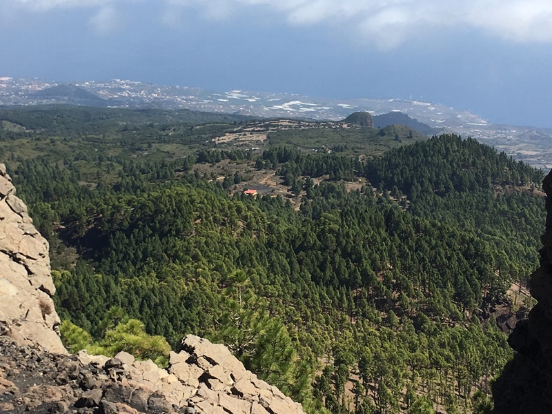
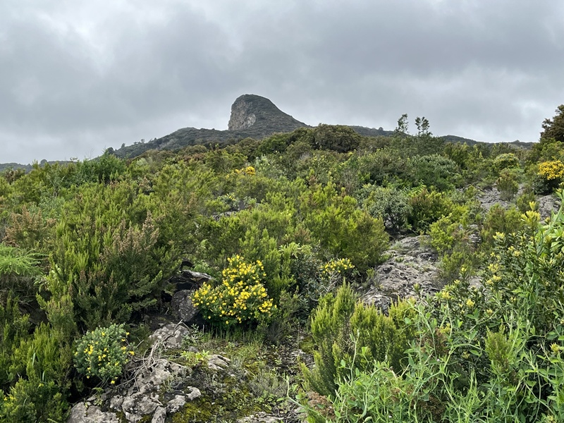
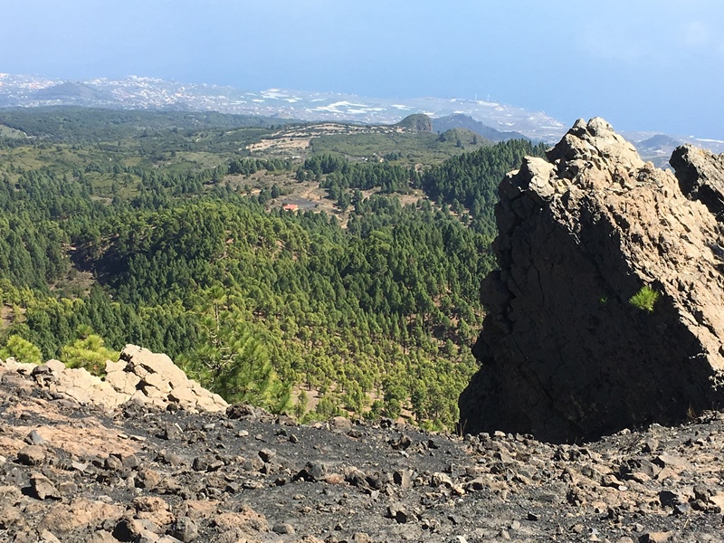
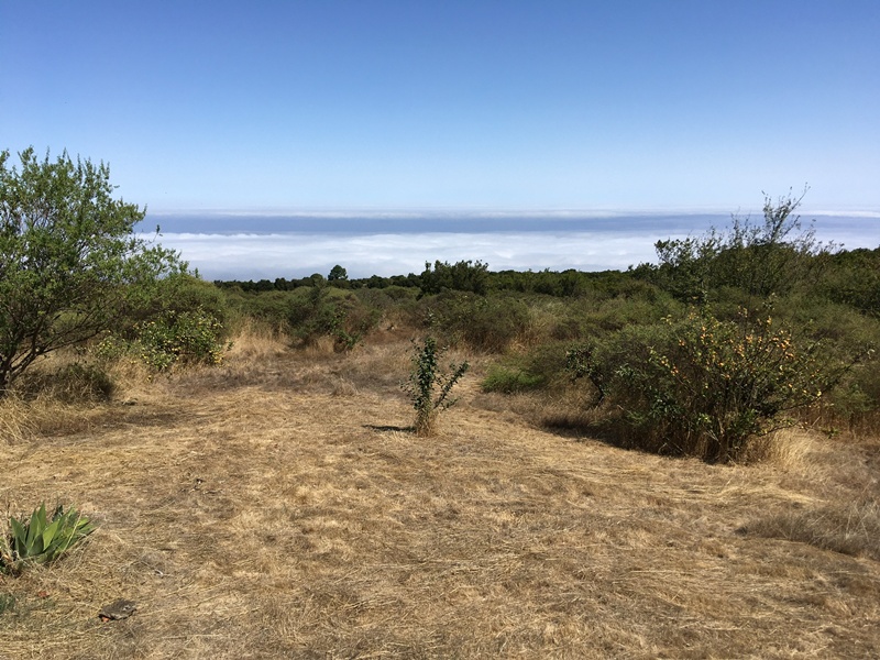
The surrounding landscape is shaped by agricultural use and natural vegetation, creating an open and tranquil environment.
The finca’s setting offers long views, a sense of space and a strong connection to the surrounding land.
This makes the property suitable for residential use, agricultural projects, or combined land-use concepts.
Further details regarding the immediate surroundings and neighbouring land uses can be provided upon request.
ACCESS AND CONNECTIVITY
Access to the finca is provided via a public unpaved road 2 Km to the asphalt road LP301 which crosses the cumbre vieja form San Isidro to El Paso. The unpaved road is maintained by public services, ensuring year-round reachability with normal cars.
The internal layout of the property allows straightforward movement between the residential parcels, agricultural land and natural areas.
Specific information regarding distances, nearby services or infrastructure can be shared during individual enquiries.